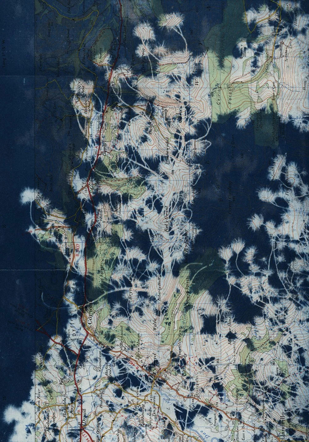
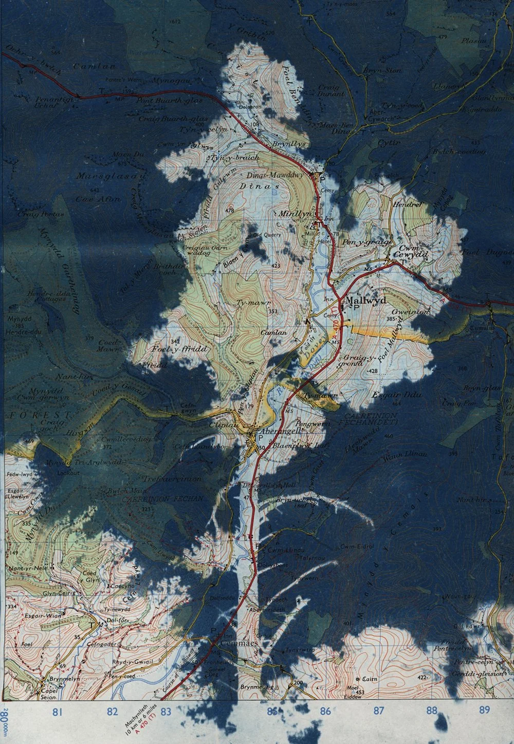
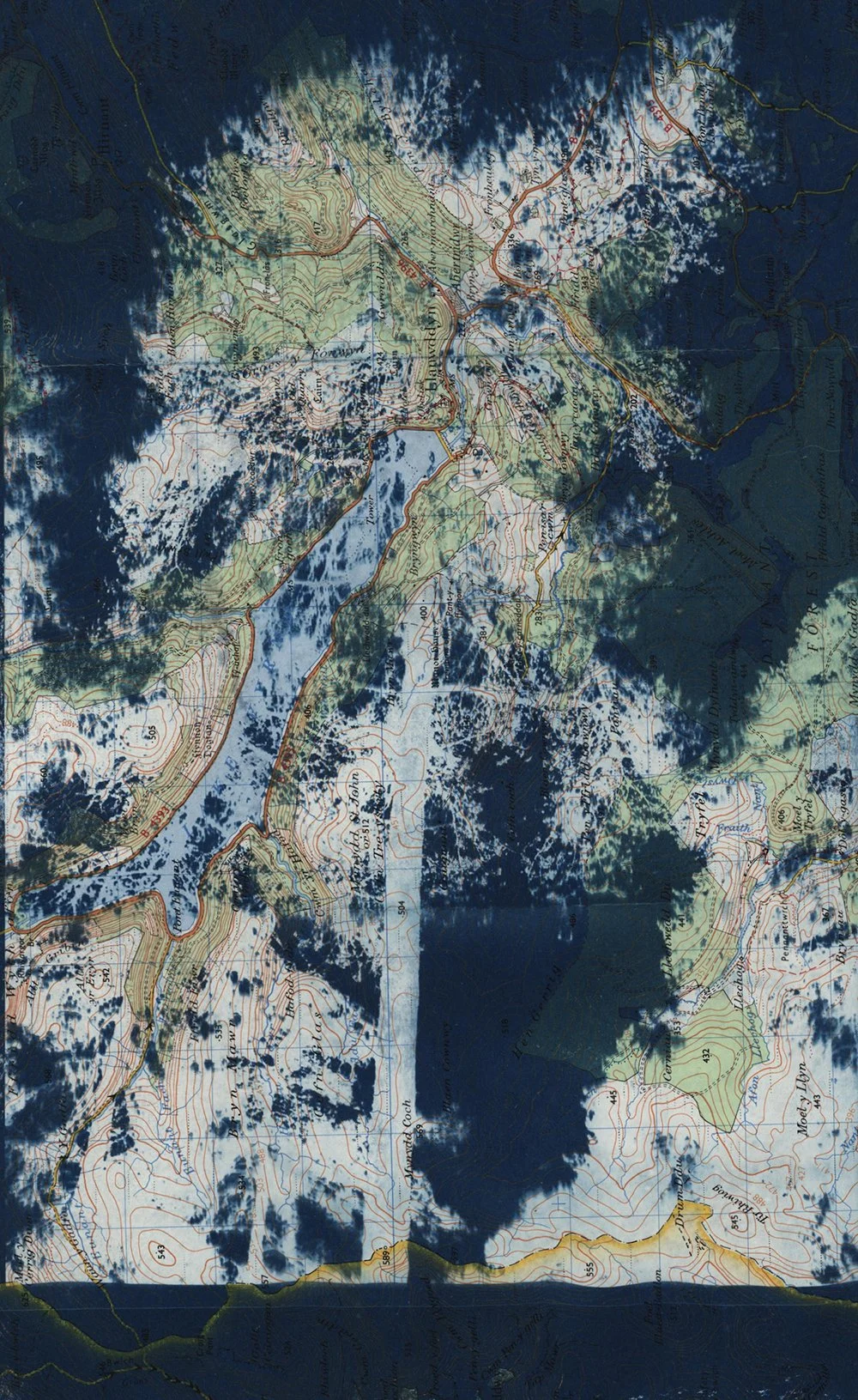
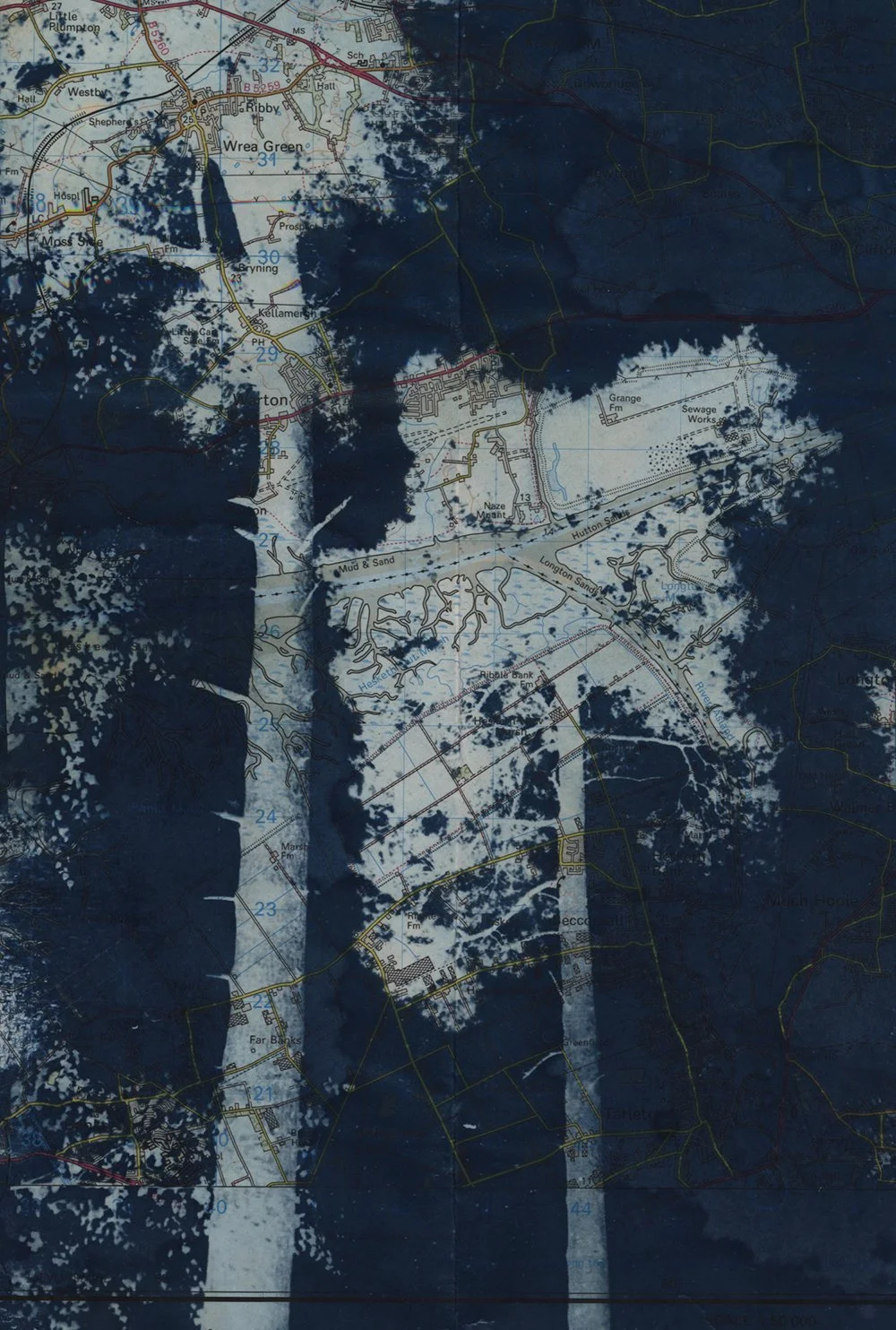
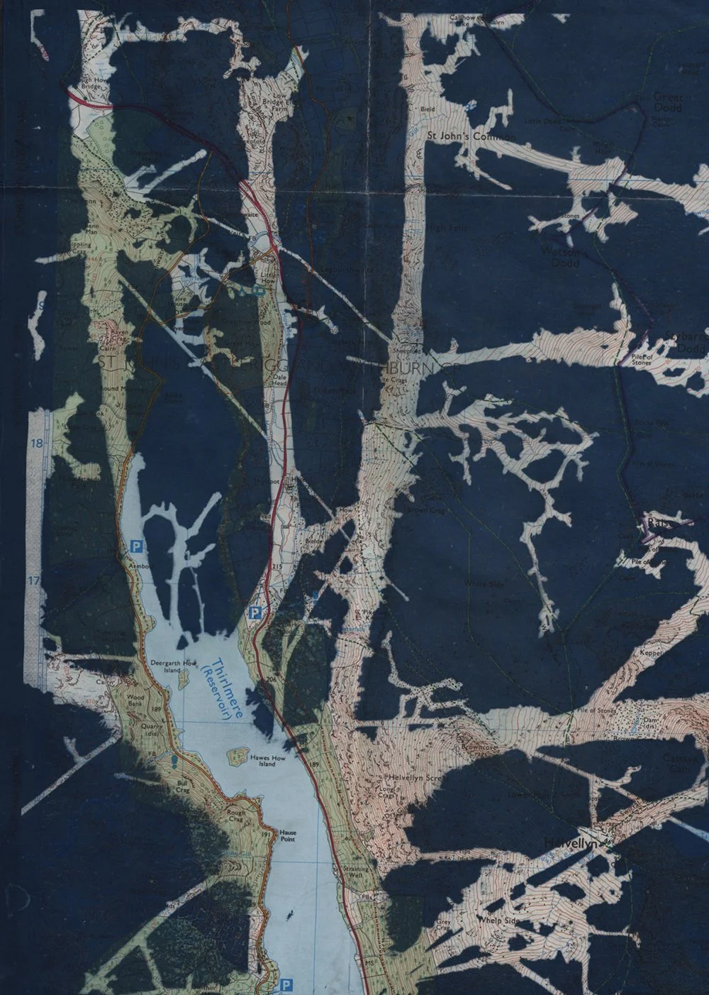
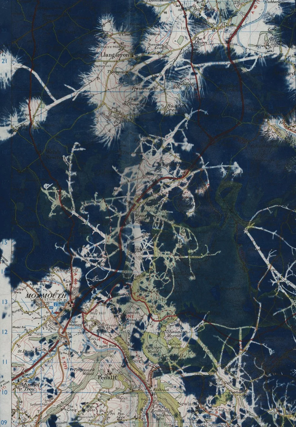
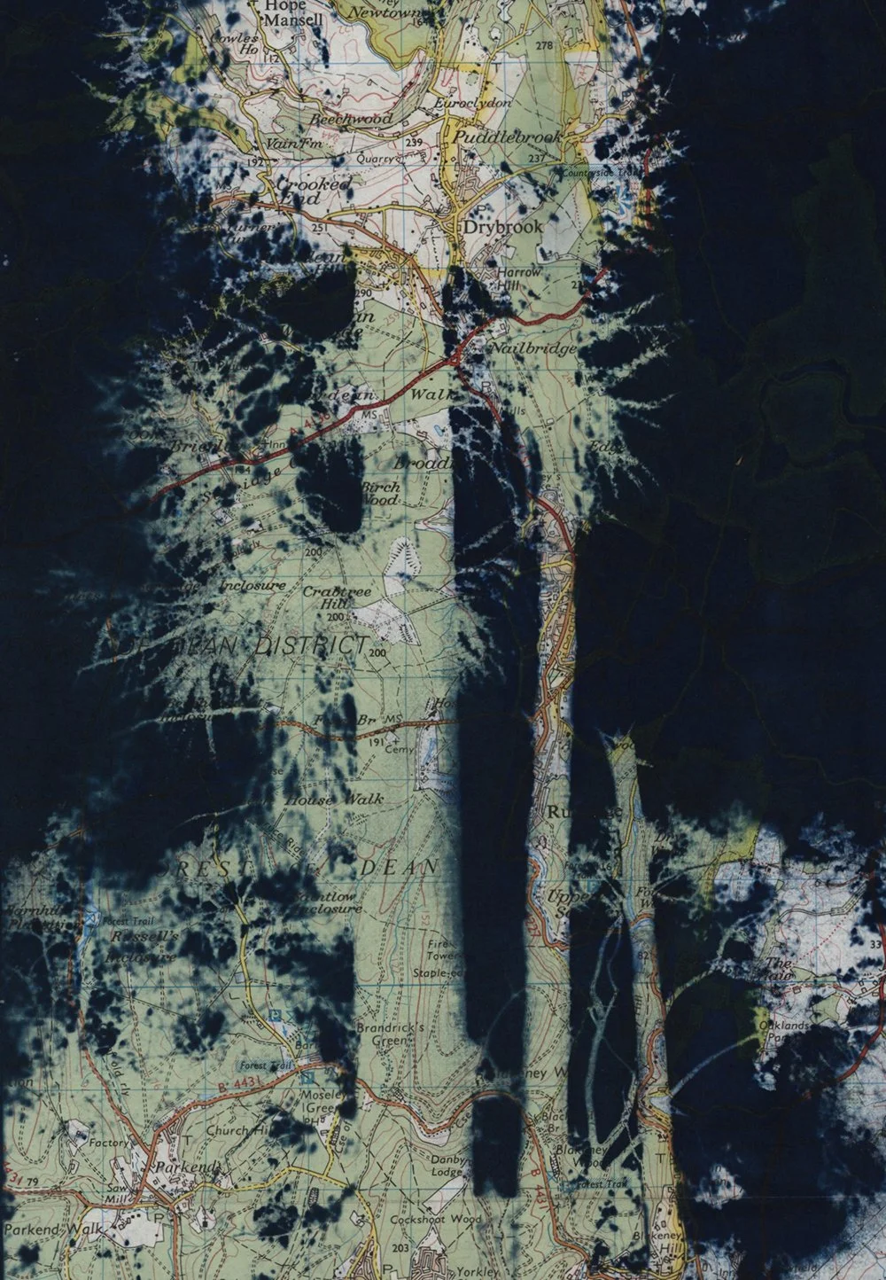
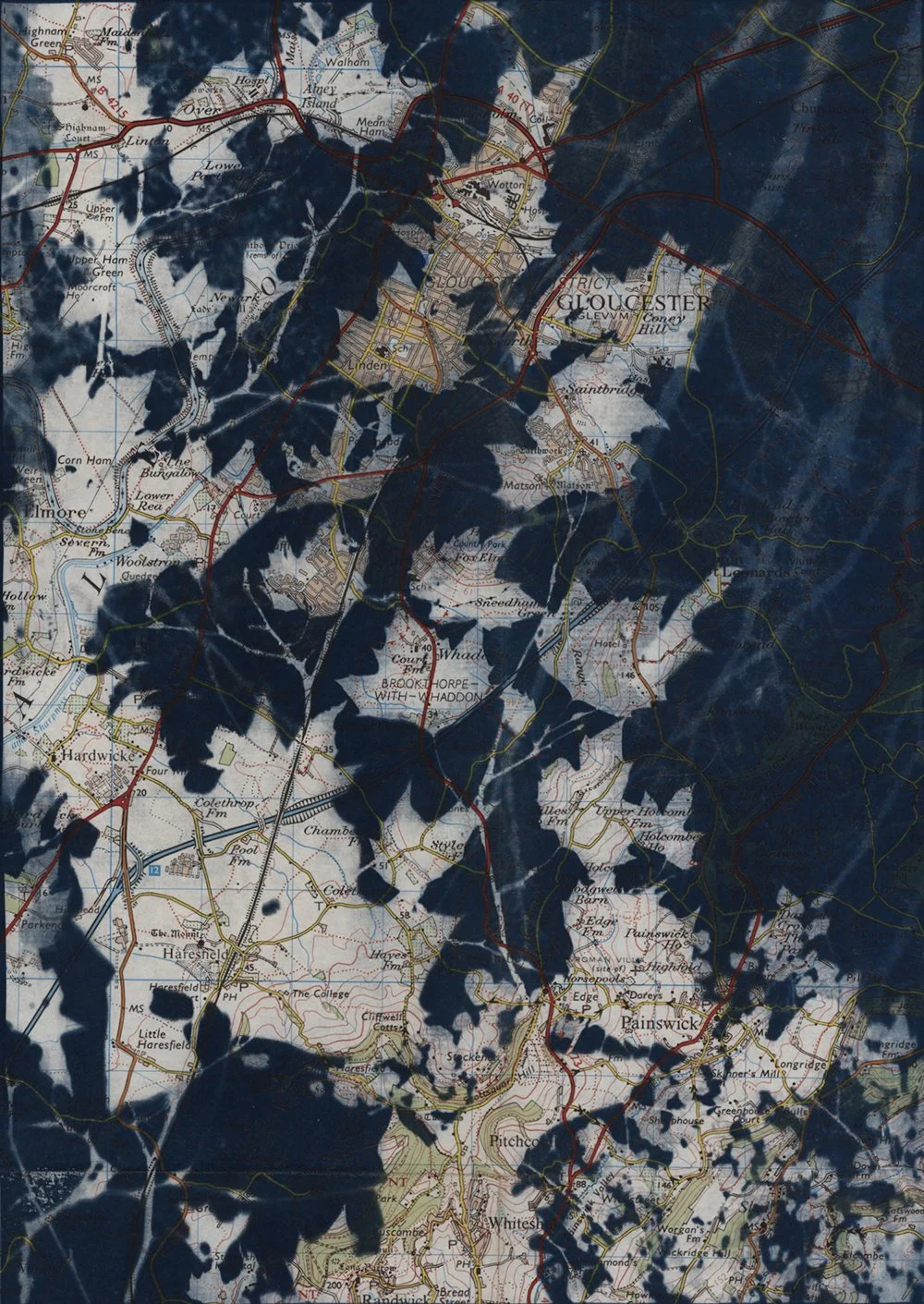
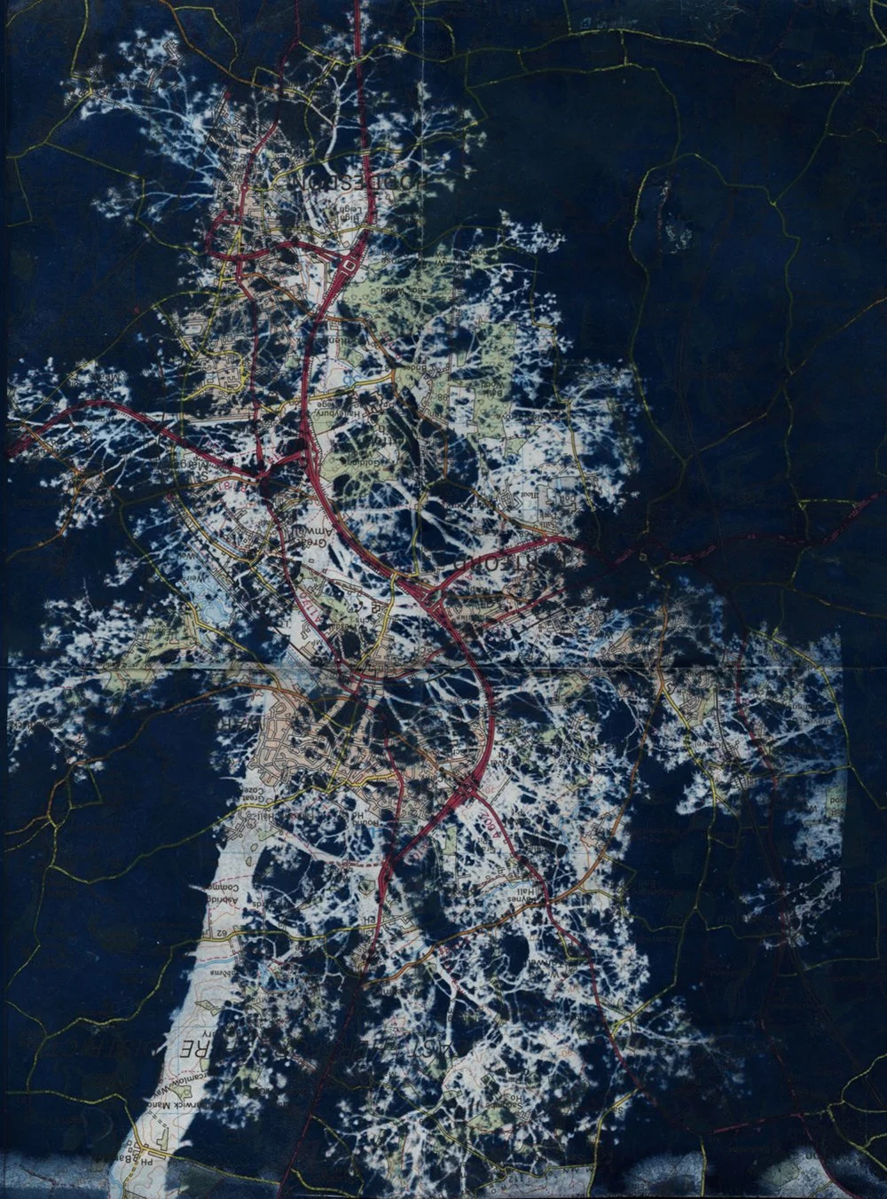
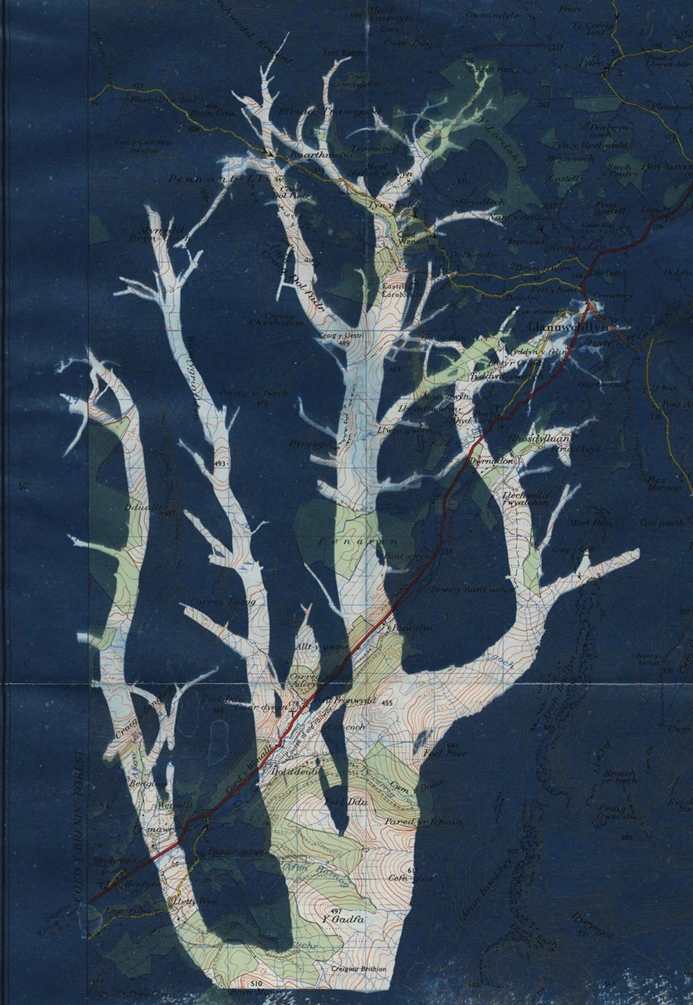
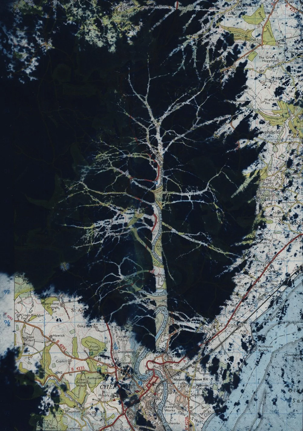
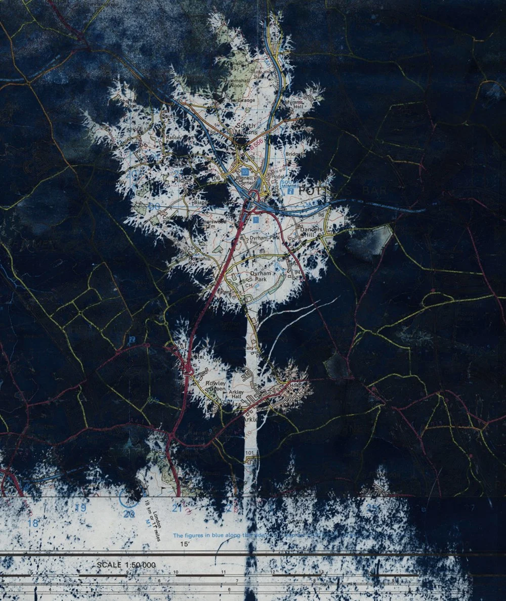
‘Cartography’ is a photographic series exploring ideas around boundaries and the interrelationship between the ‘man-made’ and the ‘natural’ worlds.
Maps combine science, aesthetics and culture, seeking to define and control physical borders. They are used to direct and restrict our passage as humans within the world and visually create a sense of place. Maps are both a creative abstraction and an interpretation of landscape.
As a photographer I am interested in patterns within nature and am drawn particularly to how common features such as branches and tree trunks resemble fractals - patterns that repeat at different scales. Fractals, like measurements of distance and symbols within maps, can be generated scientifically, whereas fractals in nature are organic – universally recognisable shapes and forms, familiar and at the same time unique.
Using old, used Ordnance Survey maps of the British Isles, together with images of trees shot on Fomapan100 35mm film at an RSPB nature reserve in Bedfordshire (UK), my aim was to creatively explore the interrelationship between the ‘map world’ and the natural world. Working with cyanotype as my medium – a process associated with ‘blueprints’ and used historically to produce technical drawings including plans – I selected and hand coated areas of the maps based upon their aesthetic qualities and content. To explore ideas around the hierarchy of the ‘man-made’ over the natural world, I printed the trees as positive as opposed to conventional negative images. This enabled me to highlight the ‘fractals’ within the tree images, incorporate the folds within the map paper and to change how the maps would be read and perceived. The natural world in the form of the tree now re-draws and defines the boundaries within the map in the same way that the original maps depicted and defined nature.